OSM at George Washington University
Backstory
Nuala Cowan & Richard Hinton of the Geography department regularly integrate the open source mapping platform, OpenStreetMap into the curriculum for their introductory undergraduate Geographical Information Systems (GIS) & Cartography classes, -traditionally the domain of proprietary desktop software and data. They have sought to expand the traditional curriculum, and expose students to various open source software, web based platforms, and data collection initiatives, specifically in a service-learning environment.
The Mapping Challenge
In spring 2013, classes collaborated with the American Red Cross to map disaster prone communities in both Colombia and Indonesia. Using high-resolution satellite imagery, GW Geography students remotely traced road and building infrastructure, data that was subsequently field validated by domestic chapters of the Red Cross. In fall 2013 they worked on another collaborative project in conjunction with USAID and the Open Cities Project at the World Bank. Once again, students mapped street level infrastructure, this time, in the city of Kathmandu, Nepal. Field partner for this collaboration was a non-profit called Kathmandu Living Labs (KLL). KLL then performed OSM Patrol Sessions (Data Quality check and Validation) on the data created by the students (and others) for Kathmandu. Richard and Nuala’s classes have continued to work on collaborations in recent semesters. In Spring 2014 students traced infrastructure in the Philippines in conjunction with the GeoCenter at USAID, and in Summer 2014 students worked once again with the American Red Cross to trace buildings in Harare, Zimbabwe.
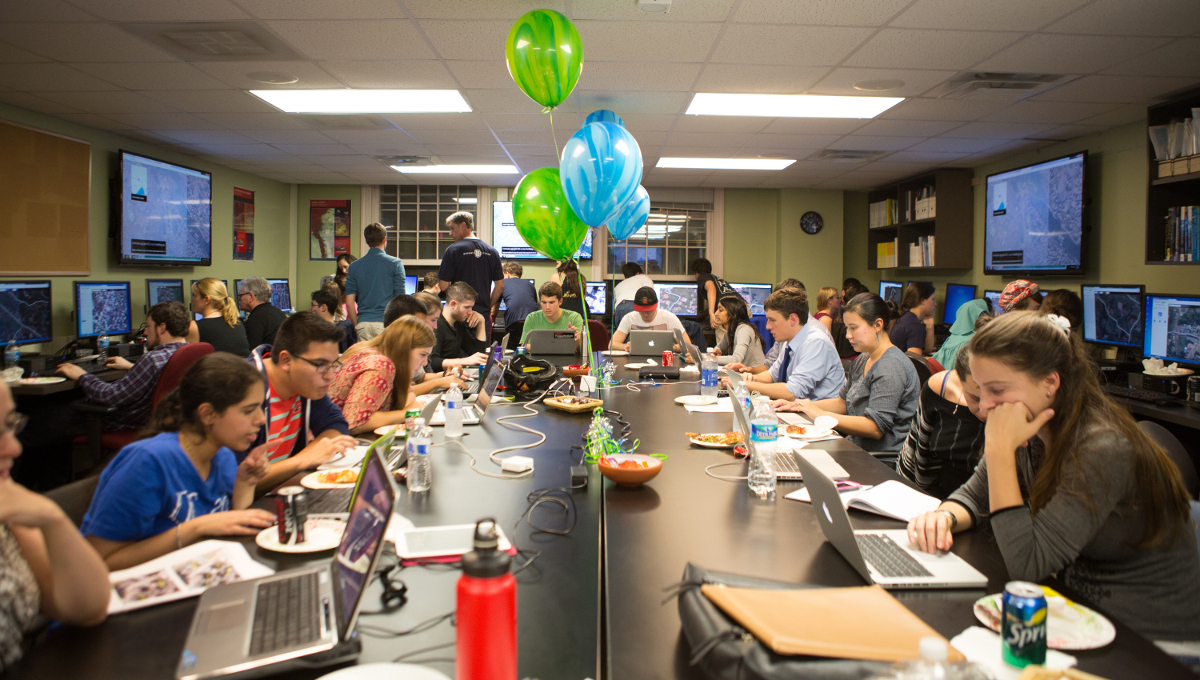
Our Workflow
The instructors used the Tasking Manager tool to outline the study area (which is determined by our partners), and partition it for tracing. Each student is given a quota of nodes to trace.
What we discovered
The collaborative mapping initiatives at GWU Geography have been exclusively disaster related to date, as this coincides with the research interests of the faculty involved. We believe this type of instructional module/assignment is applicable to many disciplines and teaching scenarios, and the objective of the TeachOSM resource is to open that possibility to these other fields, in a comprehensive user friendly way.
- Backstory
- The mapping challenge
- Our workflow
- Stumbling Blocks
- Discuss the results and what was learned
- Provide contact information