Resources


More Resources
JOSM Digitization Tutorial
video
The video focuses on how to map waterways and residential area. I also discuss the issue of digitization coverage for the scope of project

Teach OSM Tasking Manager
Controls classroom workflow by dividing large areas into small, easy to map tasks.
OpenStreetMap Map Features
The reference list of features on OpenStreetMap. Use this when you want to know how to tag a map feature.
Humanitarian OpenStreetMap Team (HOT)
partner
HOT is an organization dedicated to using OpenStreetMap to assist in various humanitarian purposes such as social & economic development and disaster response.
HOT Tasking Manager
partner
HOT operates their own tasking manager for mission-driven mapping projects.
HOT OSM 'Learn to Map' 2-Minute Video Series
video
HOT produced several 2-minute how-to videos for basic mapping technique
MapRoulette
application
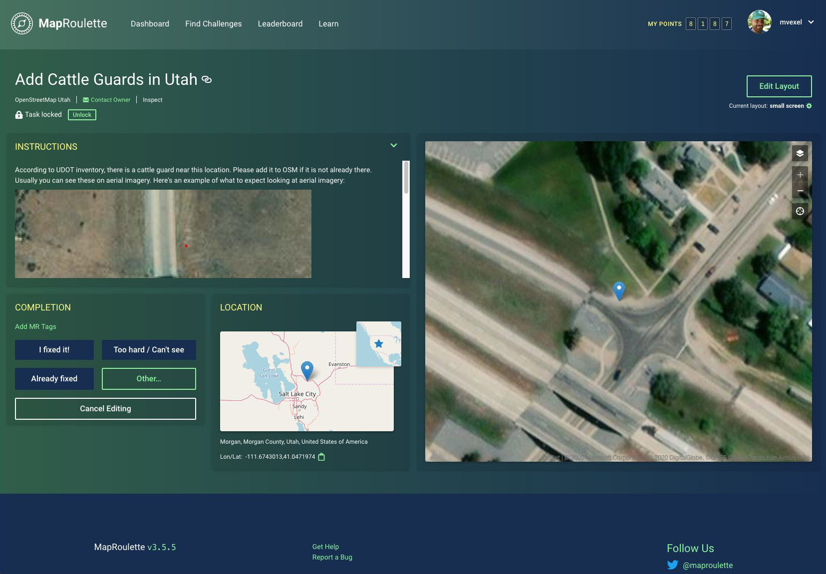
MapRoulette is a fun & engaging way to fix mapping errors one step at a time. Particularly fun challenge for students!
MapGive
partner
MapGive is an initiative of the US Department of State/Humanitarian Information Unit and is aimed at recruiting new mappers to add features in poorly mapped areas
OSMCha
application
OSMCha is short for, "OSM Changeset Analyzer". It is a flexible, powerful, and easy-to-use tool for quality control. Use it to examine your students' mapping progress.
Overpass-Turbo
application
Overpass-Turbo is an application used for quality control as well as to extract small amounts of data from OSM. For documentation, see the OSM wiki (https://wiki.openstreetmap.org)
ResultMaps from Pascal Neis
application
A collection of useful tools for interrogating OpenStreetMap. Important links here include 'How did you Contribute' and 'Your OSM Heatmap'
Glossary
description coming soon