Blog Posts

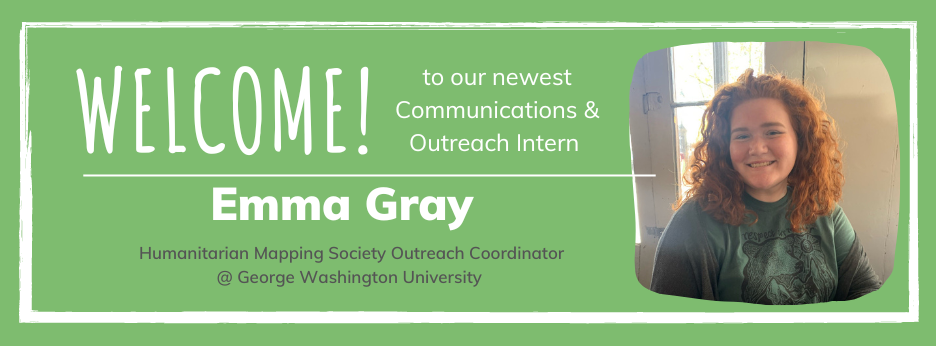
Welcome our new Communications and Outreach intern, Emma Gray!
TeachOSM is excited to welcome our new intern, Emma Gray. Emma will be assisting with Communications and Outreach through May 2023. Get to know her in this latest blog post.
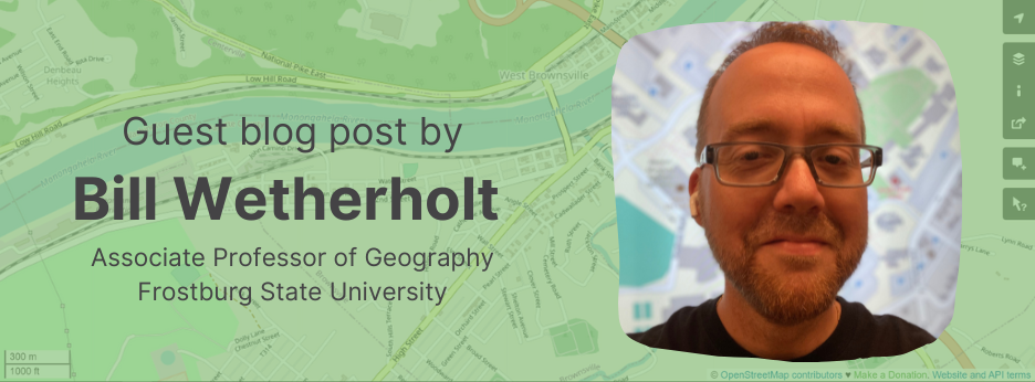
Roads as Collaborative Corridors
Guest Blog Post by Bill Wetherholt (Associate Professor of Geography, Frostburg State University)
Intern with TeachOSM this school year!
Design your own internship to support our mission
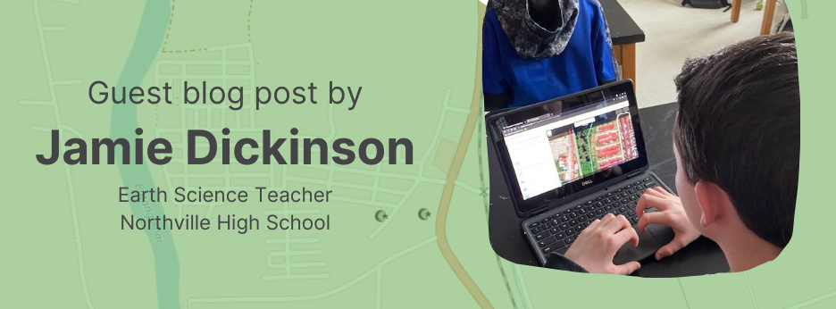
Shaking Up Earth Science with OSM
Guest blog post by Jamie Dickinson
Launching the TeachOSM Collaboration Grants
Grant applications are due August 20, 2022
A New Way to Get Involved with TeachOSM
Announcing the Education Working Group.
What is State of the Map US?
A look into the direction of OpenStreetMap and the current problems it is tackling.
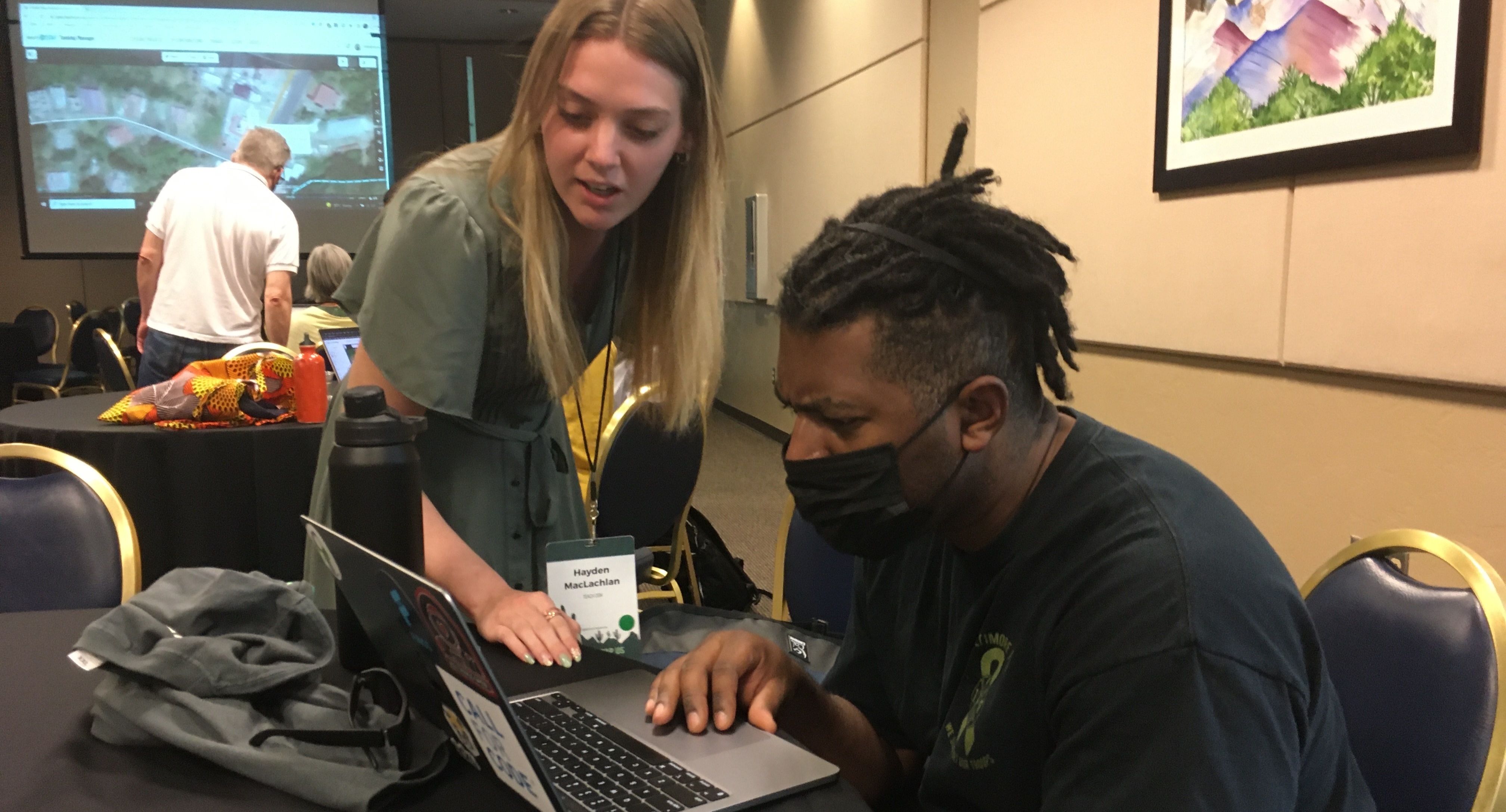
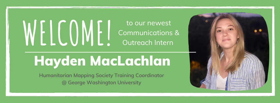
Welcome to our newest communications & outreach intern, Hayden MacLachlan!
TeachOSM is excited to welcome our newest intern, Hayden MacLachlan. Hayden will be assisting with Communications and Outreach through May 2022. Get to know her in this latest blog post.
Transformando la educación universitaria con OpenStreetMap 
Para esta entrada, platicamos con Can Ünen, quien ha trabajado como profesor de Ingeniería Geomática, participó en la creación de OpenStreetMap Turquía en Estambul y actualmente desarrolla contenidos de clase utilizando los mapas de OSM como punto de partida.
Transforming university education through OpenStreetMap 
For this post, we spoke with Can Ünen, who has worked as a professor of Geomatics Engineering, participated in the creation of OpenStreetMap Turkey in Istanbul and is currently developing class content using OSM maps as a starting point.
¡Produzcamos mapas, en lugar de consumir mapas!
La Sra. Reynolds nos demuestra cómo OpenStreetMap puede ser utilizado como herramienta para entender nuestra realidad y contribuir a diferentes comunidades.
Instead of consuming maps, let’s produce maps!
Mrs. Reynolds shows students how OpenStreetMap can be used as a tool to understand our reality and contribute to different communities.
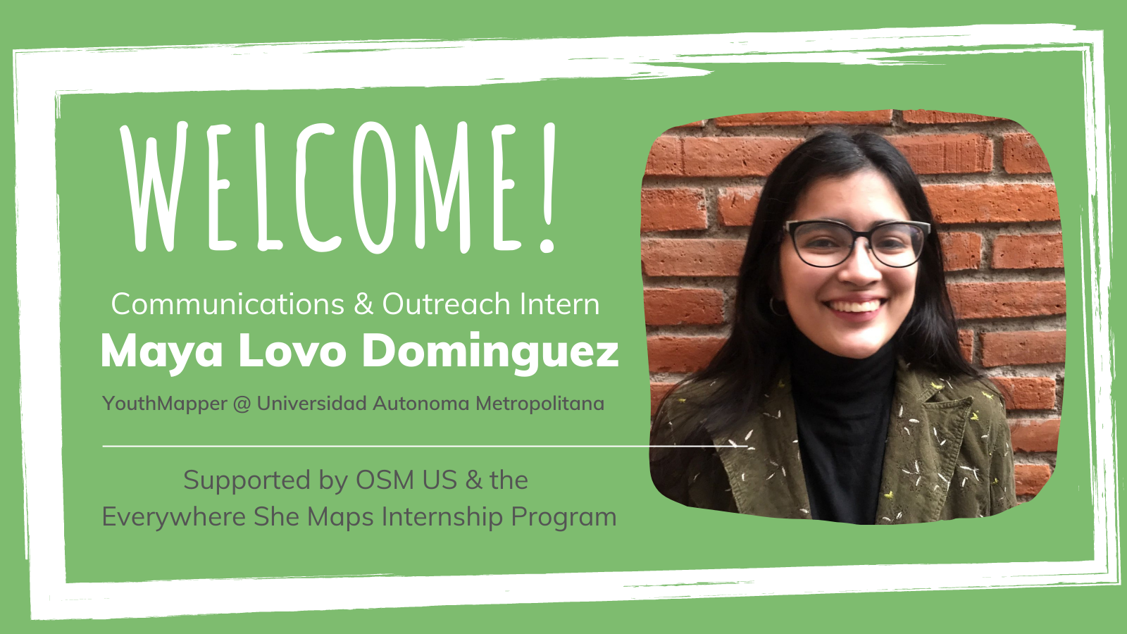
Join us in welcoming Maya Lovo, our new intern!
TeachOSM is excited to welcome our first intern, Maya Lovo. Maya will be assisting with Communications and Outreach through February 2022. Get to know her in this latest blog post.
MapSaintLucia - a Community Development Roadmap
Congratulations! You just completed a successful mapathon and are excited for the possibilities for undertaking more mapping events. What then, should you do next? This document contains elements of an open mapping plan for Saint Lucia with a special focus on continuing technical proficiency and community development. This is envisioned as a six-month roadmap, but can easily be adjusted to suit the needs of the local community.
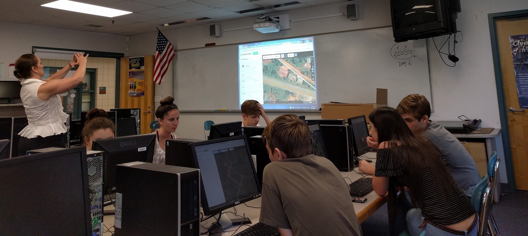
TeachOSM on Cape Cod
In the United States, AP Geography is offered during high school students' freshman year. As explained by The College Board, since it's introduction in 2001, the growth of the number of students taking the course has been one of the fastest of all AP course offerings to high school students across the United States. A similar growth pattern has taken place in the number of contributors to the OpenStreetMap (OSM) since it's birth and, in the United States specifically, since the 1st State of the Map U.S. (SOTMUS) Conference in 2010.
GIS Day Farmers Market Mapping Project
For Northern Virginia Community College GIS Day, we decided to plan a mapathon incorporating National Geographic’s “The Future of Food” theme. We planned to map Farmers Markets in Virginia using OpenStreetMap. While we were able to find long/lat information for Farmers Markets in Virginia which students could add to OSM, we also wanted to show students that they could go out to their local Farmers Markets and gather information to be uploaded to OSM using field papers.
Conducting Street-level Surveys in DC
Conducting a street-level survey is a great way to get students acquainted with local land use and land cover while learning important technical skills in the [OpenStreetMap](http://openstreetmap/) environment. The objective of a survey is to make a field-level determination of how the property or building is being used, create a geo-located photo survey of the streetscape, and add those features to OpenStreetMap. In the paragraphs below, we discuss the rationale for a street-level survey, outline the basic mapping activities, and offer pointers for your street-level survey.
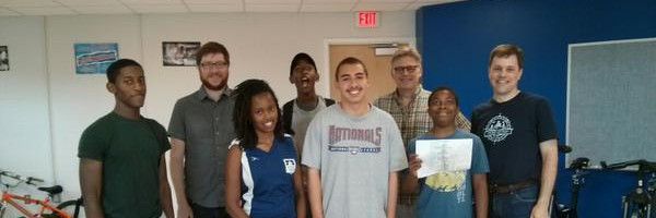
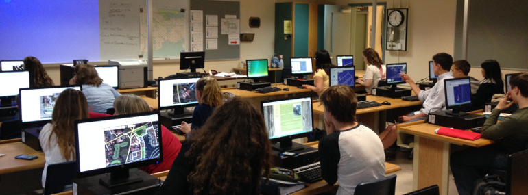
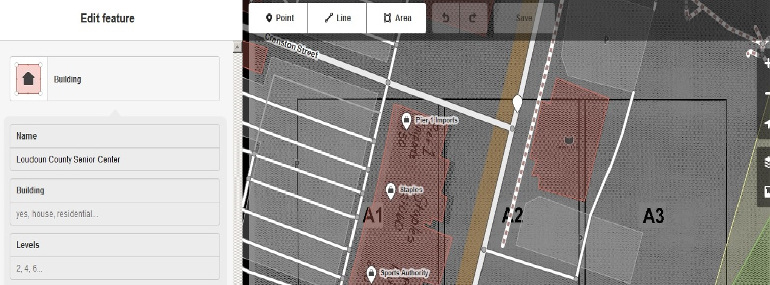
OSM at George Washington University
Nuala Cowan & Richard Hinton of the Geography department regularly integrate the open source mapping platform, OpenStreetMap into the curriculum for their introductory undergraduate Geographical Information Systems (GIS) & Cartography classes, -traditionally the domain of proprietary desktop software and data. They have sought to expand the traditional curriculum, and expose students to various open source software, web based platforms, and data collection initiatives, specifically in a service-learning environment.
Georgia Avenue Mapping
In July-August 2014, members of MappingDC worked with about 20 students ages 12-18 in Washington, DC to map out Georgia Avenue, a major commercial corridor in a largely lower-income part of town. The idea was to collect data on businesses so local groups and citizens can use it, while at the same time teaching the kids new skills and getting them engaged in their community while seeing it from a new viewpoint through geography and mapping. By the end, the students added almost 300 businesses to OpenStreetMap along the street and learned about geography and mapping.