Para obtener la versión en español de este blog, vaya aqui.
TeachOSM is conducting a series of interviews to learn and show the experiences of those who have used OpenStreetMap in their classes, as a teaching tool. It is essential, for the OSM community and for those who wish to join it, to share the projects developed, the achievements and challenges encountered along the way, and to provide feedback to the community that contributes internationally.
For this post, we spoke with Can Ünen, who works as an assistant professor in the Civil Engineering Department of MEF University, participated in the creation of OpenStreetMap Turkey in Istanbul and is currently developing class content using OSM maps as a starting point. Here we briefly present his relationship inside and outside the classes with OSM, the current situation in the country with open data and recommendations for those who use this tool in their academic activities.
Can Ünen’s background
In 2012, after the earthquake that struck Turkey, a person close to Can invited him to map the affected areas, with the aim of better managing the disaster. These projects were carried out within OpenStreetMap to alleviate drastic situations, through the mapping of access routes, local infrastructure, and environmental characteristics.
After this first experience with open mapping, Can kept an eye on the activities carried out by the OSM community globally. Among the actions carried out, he highlights joint projects between schools in Europe and Turkey that mapped towns that had little geographic information, located in Turkey and internationally, As we presented in our previous post, the lack of mapping means the lack of data that can allow better policies and more concrete actions when facing disasters.
Can is currently an OpenStreetMap trainer for the Asia-Pacific Hub at HumanitarianOpenStreetMap and an active member of OpenStreetMap Turkey. He also works to keep the country’s community connected, through integrated activities with other organizations such as Yer Çizenler Herkes İçin Haritacılık Derneği, universities and individuals who wish to get closer to open maps. Because, as the professor explains, “they are part of the community, part of the data.”
If you want to know more about Can Unen’s work, through Yer Çizenler Herkes İçin Haritacılık Derneği and how it has an impact on access to information at different scales, follow the link.
OpenStreetMap as a tool to keep our classes updated
Currently, says Can, there is a growing acceptance of OpenStreetMap and other open mapping spaces from universities and their teachers in Turkey. For years though, he witnessed and experienced resistance to these initiatives. Those in the academic circles dedicated to mapping and use of geographic information tools saw OSM as a map for beginners, since it is built with contributions of volunteers. However, this view has presented obstacles for those who teach courses on geomatics, remote sensing, and digital technologies, since the resources and materials used within the classes strictly depend on the licensed geographic information (from paid platforms) to which they have access.
What does this mean for the spatial representation and its analysis? Can shares that the lack of openness with free mapping initiatives is reflected in university students, who are not familiar with the opportunities of open data, as well as its impacts on the content taught in classes. Due to the limited access to geographic information, sample data must be shared among the academic staff, which results in repetitive assignments over the years, using the same data set. This information used within the university cannot be easily updated in the event of disasters or spatial changes, as they are found in programs that do not allow contributions or changes. This limits the scope of the work, as well as the analysis that can be carried out in different spaces.
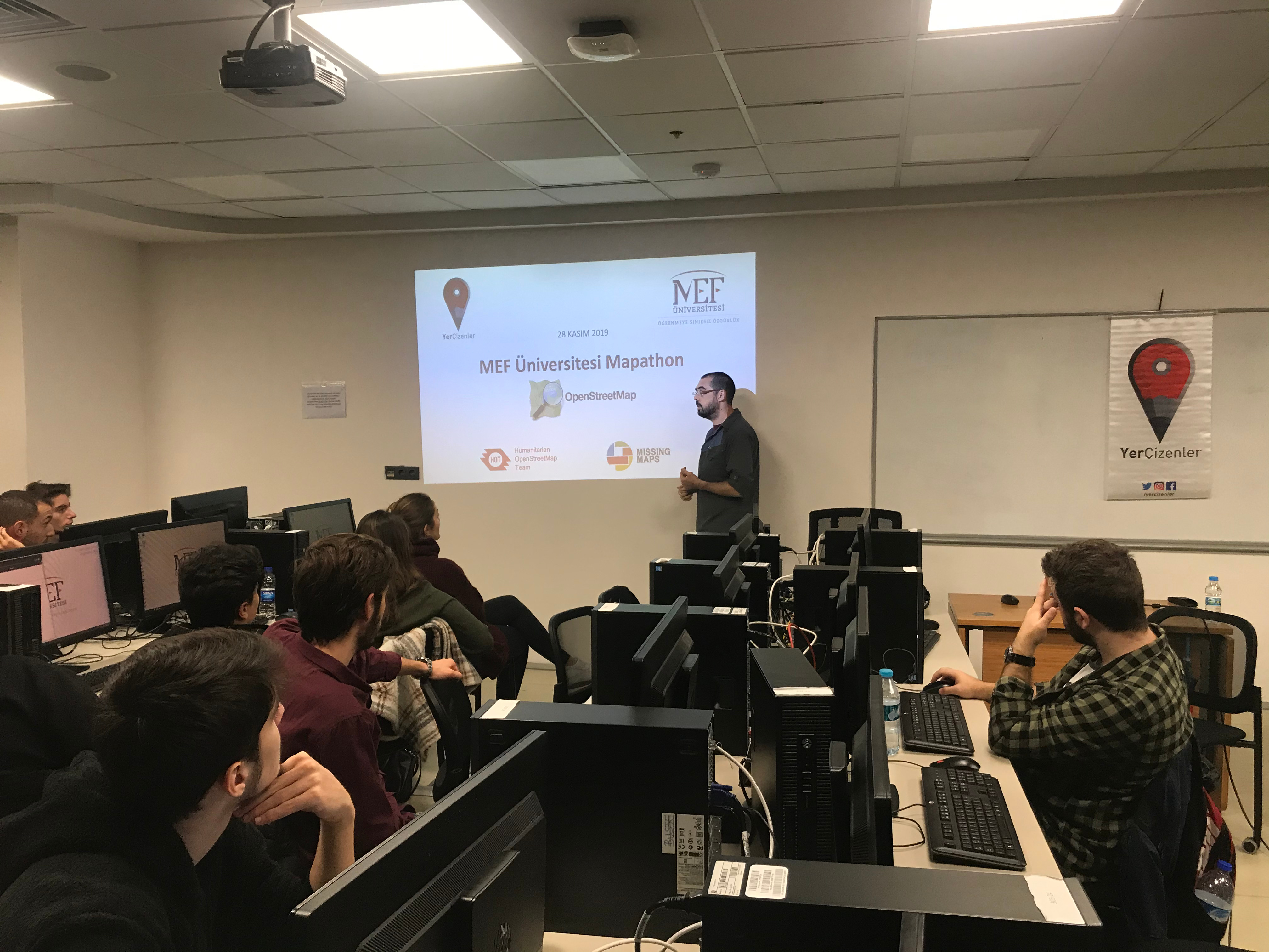
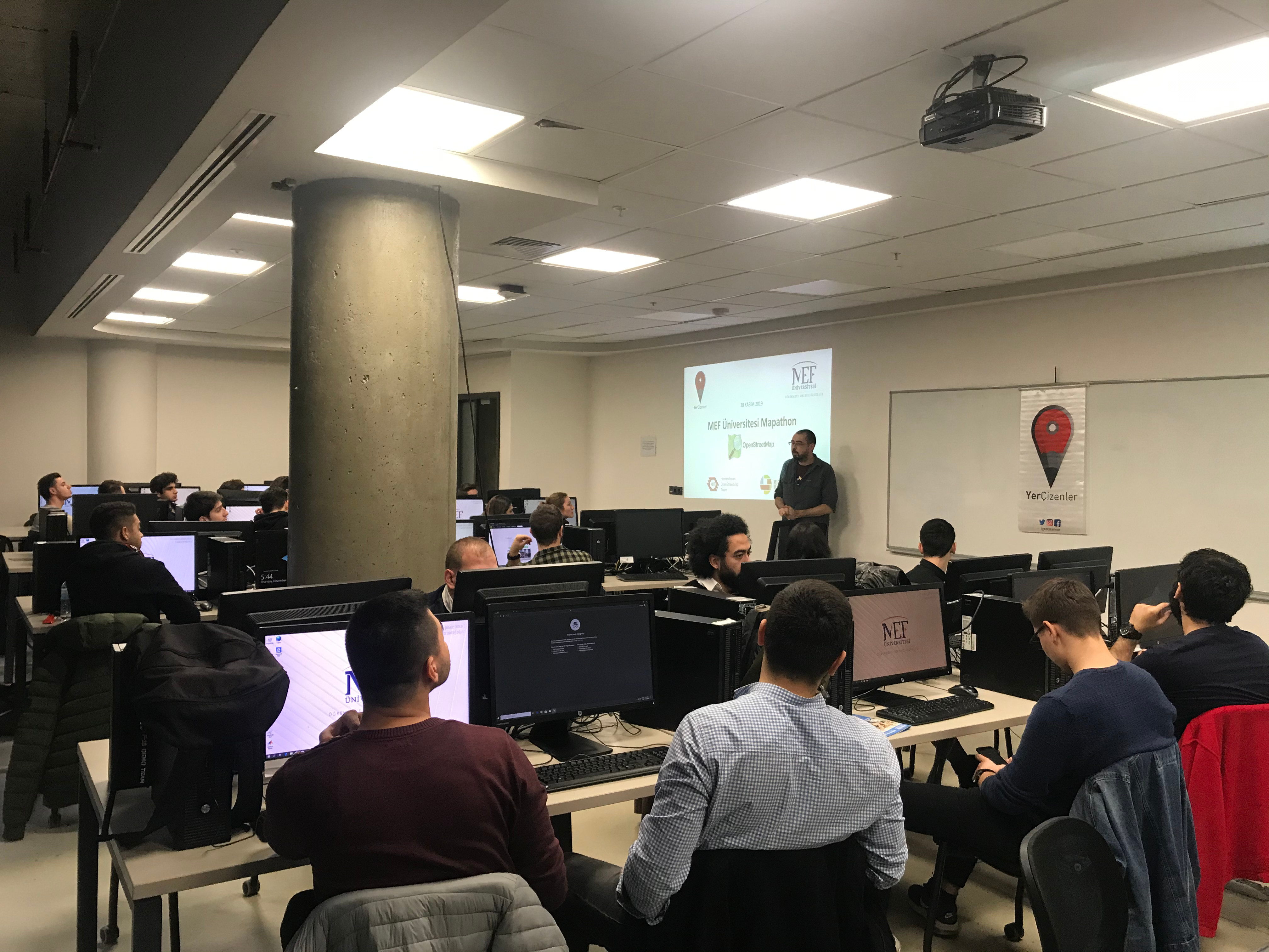
In contrast, Ünen has used OpenStreetMap in conjunction with other open access programs to engage more people in contributing to geographic information. The academic freedom at the university has allowed him to carry out a Mapathon every half of the semester, focused on urgent projects at a beginner level available on the HOT Tasking Manager. For Fall Semester (2021), Can shares that the contributions made by 26 students represent: 185 working days and 142,640 map changes, 805 changesets, 20,355 buildings, and 1,347 roads.
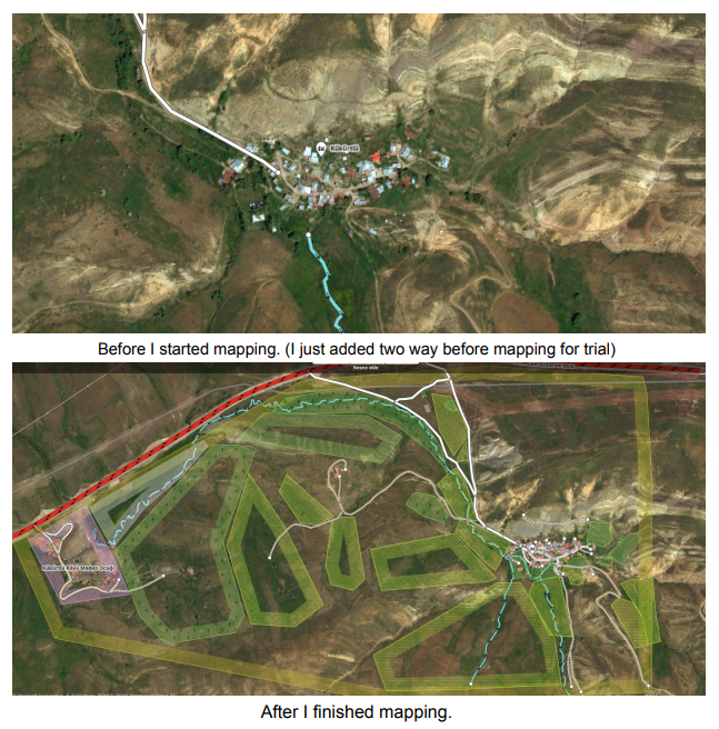
The work done with HOT is accompanied by sessions dedicated to understanding how to digitize data and improve maps, so that at the end of the semester the students prepare a report on the contributions they’ve made throughout the semester in different Humanitarian OpenStreetMap projects. For example, Can shares the results of a report done by Oyku, who mapped the village her parents are from, in detail, which consisted in 114 buildings which are houses, industrial buildings, cowsheds, and a school; connection roads, pedestrian roads, paths, agriculture roads, and unused old railway to the village.
All these activities promote a greater involvement from Turkey’s community, on the mapping of the spaces that surround them, as well as an exchange with other places that are in need of being mapped, to respond to critical situations. Can comments that these efforts have been fruitful, when observing that there are volunteers who return to participate in new activities.
However, there are still challenges in maintaining constant volunteers within the university. To promote engagement among the community Can pairs mapping existing projects with learning how to download one’s contributions and using spatial analysis programs.
Finally, Can Ünen recommends to those interested in teaching mapping tools to approach OpenStreetMap as a community that helps to avoid repetition and encourages analysis. This space should be understood as an effort to improve the quality of information for the future and make it more accessible.